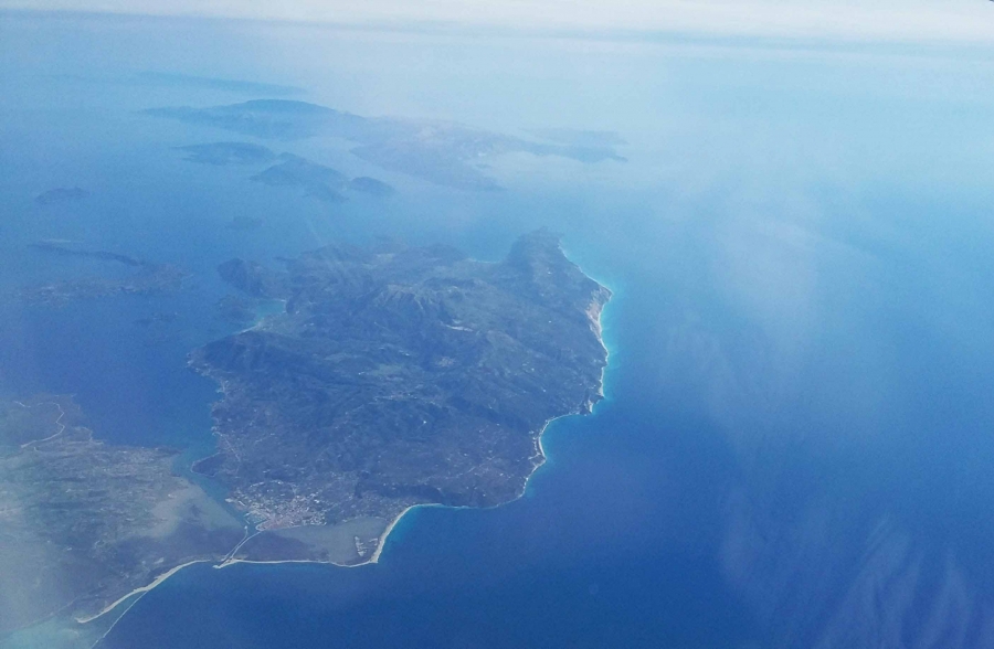
Aerial photogrammetric surveys at Lefkada pilot site
Meetings and Events
Wednesday, 31 May 2017 00:00 - Saturday, 03 June 2017 00:00
From May 31 to June 3, 2017, aerial photogrammetry surveys were carried out in the pilot site of Lefkada Island (Greece).
The coasts of Lefkas and Vassiliki were successfully surveyed by a fixed wing drone that safely flew over these areas.
High-resolution images captured by air will support the realization of detailed multi-temporal coastal flooding scenarios up to the year 2100, caused by sea level rise, tectonics, and ongoing climate change, for two zones of Lefkada.
Address
Lefkada
Grecia
Grecia
Map
All Dates
- From Wednesday, 31 May 2017 00:00 to Saturday, 03 June 2017 00:00